




| IN A NUTSHELL |
|
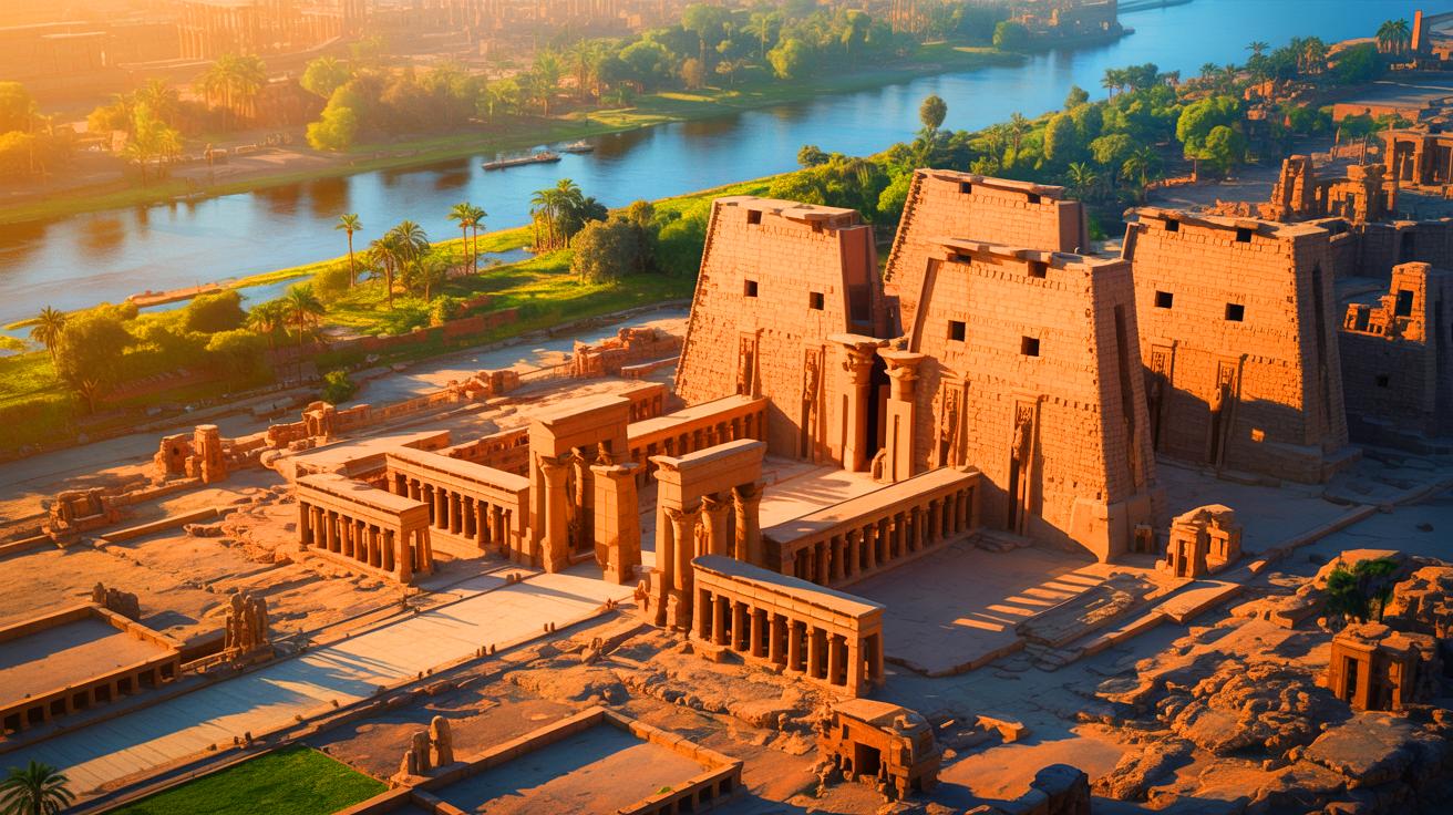
The ancient city of Thebes, now modern-day Luxor, is home to one of Egypt’s most remarkable monuments: the Karnak Temple complex. For over 3,000 years, the temple has stood as a testament to the architectural and religious prowess of the ancient Egyptians. However, recent research has unveiled a hidden aspect of Karnak’s history, revealing that the temple was not merely a marvel of construction but also a masterpiece of geological placement. The temple’s foundation, a prehistoric river channel-formed natural terrace, offers profound insights into the spiritual and practical considerations of its builders.
Digging Beneath the Stones
An interdisciplinary team of researchers from Uppsala University and the University of Southampton, led by Dr. Angus Graham, has embarked on a groundbreaking study to uncover the deep past of the Karnak Temple site. By combining geology, archaeology, and advanced dating techniques, the team has cored 61 sediment samples, some reaching 36 feet below ground. Each layer of sand and silt uncovered stories about the Nile’s history and its influence on the temple’s foundation.
The layers of sediment, combined with tens of thousands of ceramic shards, have allowed scientists to establish a more precise timeline of the temple’s construction. “The age of Karnak Temple has long been controversial among archaeologists,” remarked Dr. Kristian Strutt, a co-author of the study. “Our new evidence places a firm temporal limit on its earliest occupation and construction.” By employing optically stimulated luminescence dating, the team determined when sand grains last saw daylight, creating a detailed 3D picture of the site’s evolution over millennia.
A Temple on an Ancient Terrace
At the heart of the temple’s foundation is an accumulation of river-borne sands topped by silt and wind-blown deposits. The oldest sandy layer, known as Unit T, revealed little evidence of human activity, indicating deposition before the arrival of settlers. An OSL date suggests that the final deposition of Unit T occurred around 2520 BCE, give or take four centuries. At that time, the site was an active river channel, unsuitable for permanent structures.
It was only after the river channels deepened and changed course that Karnak’s sands emerged above water, forming an island of high ground. This natural terrace, covering about 25 acres, became the foundation for one of humanity’s most significant temple complexes. “Prior to about 2520 BCE, the site would have been unsuitable for occupation due to recurrent inundation by high-velocity Nile water,” explained Dr. Ben Pennington, the study’s lead author and Visiting Fellow in Geoarchaeology at the University of Southampton.
The Nile’s Ever-Changing Paths
Researchers have discovered that two major river channels once surrounded the high island of Karnak. To the west, a Middle Kingdom channel gradually filled with sediment, creating land for temple expansion. During the New Kingdom, builders even filled the old channel with desert sand to stabilize the ground for new constructions. South of the Hypostyle Hall, a central area contained a 12-foot-thick deposit of foreign sand, showcasing the ancient builders’ landscape engineering efforts.
To the east, a previously underestimated extension of the Nile was identified. This eastern channel, a significant watercourse during the First Intermediate and Middle Kingdoms, eventually silted in, transforming from a riverbed to a floodplain by late antiquity. “The river channels that border the site dictated where and how the temple would expand,” noted Dominic Barker, a researcher from Southampton. “We can also observe how Ancient Egyptians altered the river itself, infilling channels with desert sands, maybe in order to create new land upon which to build.”
A Sacred Island in a Sea of Myths
Beyond its geological significance, the research sheds light on the intersection of religion and landscape at Karnak. The temple’s position on a high mound surrounded by water may have symbolized one of Egypt’s earliest creation myths. In the Old Kingdom, sacred texts described the creator god rising from the chaotic waters of a primordial flood.
It is plausible that the Theban aristocracy chose Karnak to be the home of a new incarnation of the creator god Ra-Amun, aligning with the cosmogonic vision of land emerging from surrounding waters. Each year, as the Nile’s waters rose and receded, the temple terrace appeared to rise from the floodwaters, mirroring the mythological “primeval mound” from chaos. The connection between land, water, and the divine was unlikely to be a mere coincidence.
From River Island to Religious Powerhouse
Over centuries, the temple complex expanded, adapting to the ever-changing landscape. Architects filled channels, redirected flows, and built over ancient riverbeds. The simple shrine on an island evolved into a massive religious metropolis, covering approximately 75 acres in the central precinct of Amun-Ra. Each phase of construction required both architectural and environmental ingenuity.
When western channels clogged with sediment, new land emerged, perfect for expansion. When floods threatened sanctuaries, workers re-engineered the landscape. The evolving relationship between humans and the Nile transformed the temple complex into a geological and cultural icon. “The Karnak Temple’s history, from a small island to one of the typical institutions of Ancient Egypt, is that of the harmony between humanity and nature,” stated Pennington.
Practical Applications of the Study
This research reshapes our understanding of ancient Egyptian cities, portraying them not as static ruins but as dynamic landscapes shaped by time, sediment, and water. Insights into the Nile’s shifting channels’ impact on settlements could help protect sites threatened by modern river changes or rising groundwater levels.
These discoveries also reveal how ancient cultures viewed their world, not merely as a backdrop, but as an active participant in religion and existence. For today’s scientists, this research bridges geology and archaeology, offering new ways to trace human history alongside natural elements. As Pennington’s team expands its survey to encompass the entire Luxor floodplain, they aim to map the interconnection of rivers and temples within Thebes, revealing more about one of the world’s oldest cultural landscapes.
The Karnak Temple’s transformation from a natural river island to a vast religious complex underscores the profound relationship between the ancient Egyptians and their environment. As researchers continue to explore the links between geology, archaeology, and religion, what further insights might be unveiled about the interplay between human civilization and the natural world?